Nha Trang Storm and Flood Season: Outlook and Risk Levels
The NCHMF bulletin issued on 15/9/2026 expects fewer storms than average, active in the East Sea and affecting Vietnam, from October to December 2026. It still says moderate to heavy rain may occur in Khanh Hoa in December. Disaster risk levels run from 1 to 5 and are announced with forecast and warning bulletins.
On this page
- When storms reach this coast
- Outlook from the 15/9/2026 bulletin
- Rain, wind and thunder in the numbers
- What the storm words mean
- How Vietnam’s disaster risk levels work
- Bulletins, timing and the Khanh Hoa rivers
- The flood season and last year’s floods
- What Khanh Hoa ordered for Storm Kalmaegi
- Flights and airports
- Before and during a storm
- Common questions
The National Center for Hydro-Meteorological Forecasting (NCHMF) issued its seasonal bulletin at 15h00 on 15/9/2026. For October to December 2026, it says storms and tropical depressions active in the East Sea and affecting Vietnam are likely to be below the multi-year average. That average is 4.5 storms on the East Sea, of which 1.9 make landfall.
A quiet outlook does not mean a quiet coast. Nha Trang’s wettest months are October and November, and in November 2025 floods hit Khanh Hoa hard. This guide covers when storms and floods arrive, what the official warning words mean, and what the province asked tourists and tour operators to do last time.
When storms reach this coast
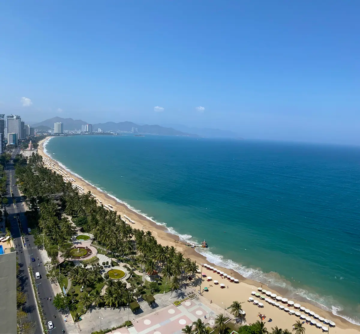
Storm landfalls on this coast are an autumn event. The national construction standard QCVN 02:2022/BXD prints landfall frequencies by month and by coastal region for storms and tropical depressions from 1961 to 2017. For the stretch from Binh Dinh to Ninh Thuan, the figures are:
| Month | Landfall frequency |
|---|---|
| January | 0.00 |
| February | 0.00 |
| March | 0.02 |
| April | 0.02 |
| May | 0.00 |
| June | 0.04 |
| July | 0.00 |
| August | 0.02 |
| September | 0.04 |
| October | 0.39 |
| November | 0.40 |
| December | 0.07 |
October and November carry almost all of the risk. September and December follow at 0.04 and 0.07, and no other month prints more than 0.04.
The same standard lists individual storms for that coastal stretch. These are some of the strongest:
- Cimaron, 26/10/2006, force 13.
- Kyle, 19/11/1993, force 13.
- Hagibis, 22/11/2007, force 12.
- Lingling, 07/11/2001, force 11.
- Lola, 02/12/1993, force 10.
- Damrey, 31/10/2017, force 9.
Two points follow from the list. The big storms cluster in late October and November, and a storm as late as 2 December has made landfall on this stretch. The region label covers several provinces, so a listed storm did not necessarily hit Nha Trang itself.
The flood season follows the same calendar. Decision 18/2021/QĐ-TTg sets it from 1 September to 15 December on rivers from Quang Binh to Ninh Thuan.
Month by month through the storm season
- September: the flood season opens on 1 September. Average rainfall jumps to 165.8 mm over 14.4 rainy days, and thunderstorms average 5.4 days. Landfall frequency is still only 0.04.
- October: rainfall averages 312.3 mm over 17.6 rainy days. Landfall frequency leaps to 0.39, and the largest daily fall on record in the table is 364.0 mm. Cimaron came ashore in this month in 2006.
- November: the peak. Rainfall averages 381.6 mm over 18.0 rainy days, and landfall frequency is 0.40. Kyle, Hagibis and Lingling all appear in the November list.
- December: rainfall falls to 191.4 mm, but the largest daily fall is still 348.7 mm and wind averages 4.0 m/s. Landfall frequency drops to 0.07, and the flood season closes on 15 December.
Outlook from the 15/9/2026 bulletin

- Storms: from January to March 2027, storms or tropical depressions in the East Sea are unlikely.
- October 2026 rainfall: 5-20% below average in most regions outside the North, and 20-40% below in the South Central Coast and Central Highlands, among others. Moderate and heavy rain may still occur across the country.
- November 2026: moderate and heavy rain expected less often than average, mainly in the South Central Coast. Rainfall from Quang Tri to Lam Dong is generally 20-40% below average. The bulletin warns of a possible rain shortfall in the main rainy months of October and November there.
- December 2026: rainfall in the South Central Coast 50-100 mm below average. Moderate and heavy rain may still occur in Khanh Hoa.
- Season change: thunderstorms, tornadoes, lightning and hail may occur nationwide.
- El Nino: the bulletin says it is likely to stay very strong from October to December 2026, with a 98% probability. It puts the ocean temperature anomaly at 2.0 degrees in the second week of September 2026.
Rain forecasts have a limit. A dry-leaning outlook still leaves room for a heavy single event, as the next section shows.
Rain, wind and thunder in the numbers
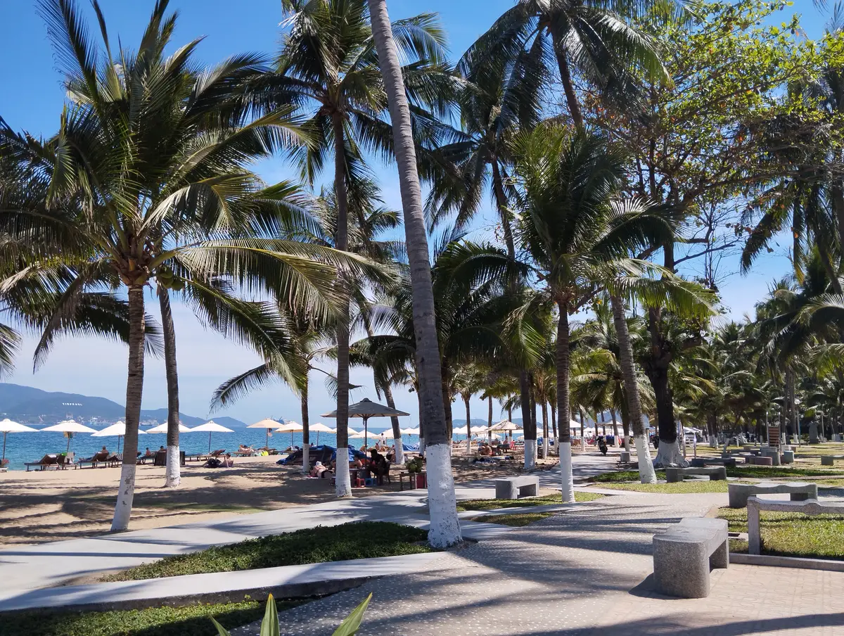
QCVN 02:2022/BXD also prints long-term rain figures for the Nha Trang station. Average monthly rainfall is 165.8 mm in September, 312.3 in October, 381.6 in November and 191.4 in December. The year averages 1,399.2 mm. Rainy days average 14.4 in September, 17.6 in October, 18.0 in November and 14.4 in December.
The largest daily falls are the storm-season risk. They read 364.0 mm in October, 334.1 mm in November and 348.7 mm in December. Vietnam defines rain as very heavy above 100 mm in 24 hours. Each of those days is more than three times that line.
The table below puts the storm-season months side by side.
| Month | Rainfall (mm) | Rainy days | Largest daily fall (mm) | Wind (m/s) | Thunderstorm days |
|---|---|---|---|---|---|
| September | 165.8 | 14.4 | 154.1 | 1.7 | 5.4 |
| October | 312.3 | 17.6 | 364.0 | 2.1 | 2.4 |
| November | 381.6 | 18.0 | 334.1 | 3.4 | 0.8 |
| December | 191.4 | 14.4 | 348.7 | 4.0 | 0.0 |
Wind picks up as the northeast monsoon arrives. Average wind speed is 3.4 m/s in November and 4.0 m/s in December, against 1.5 m/s in June. The NCHMF bulletin says storms, tropical depressions and the northeast monsoon cause strong winds and big waves that affect activities on the East Sea.
Thunderstorms peak at the turn of the season. The station averages 5.4 thunderstorm days in September and 2.4 in October, against 0.0 in December. The same standard shows tornado-type events in some years. Its Nha Trang row counts 8 in total, in June, October, November and December.
What the storm words mean
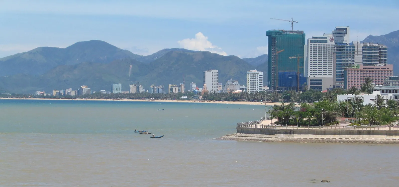
Decision 18/2021/QĐ-TTg gives each term a meaning. Knowing them helps when a bulletin or hotel notice uses the words.
- Tropical depression: a tropical cyclone with maximum wind of force 6 to 7.
- Storm: maximum wind of force 8 or more. Force 10 to 11 is a strong storm, force 12 to 15 a very strong storm and force 16 or more a super storm.
- Landfall: the storm’s centre has moved onto land.
- Heavy rain: over 50 mm in 24 hours, with over 50 to 100 mm called heavy and over 100 mm very heavy.
- Big waves: sea waves of 2 m or higher caused by a depression, storm or strong wind at sea.
- Storm surge: sea water rising above the normal tide level.
- Abnormal flood: one that appears before or after the flood season, or from reservoir release or a dam or dyke failure.
- Flash flood: a sudden flood on steep slopes and small mountain streams, often carrying mud and rocks.
How Vietnam’s disaster risk levels work
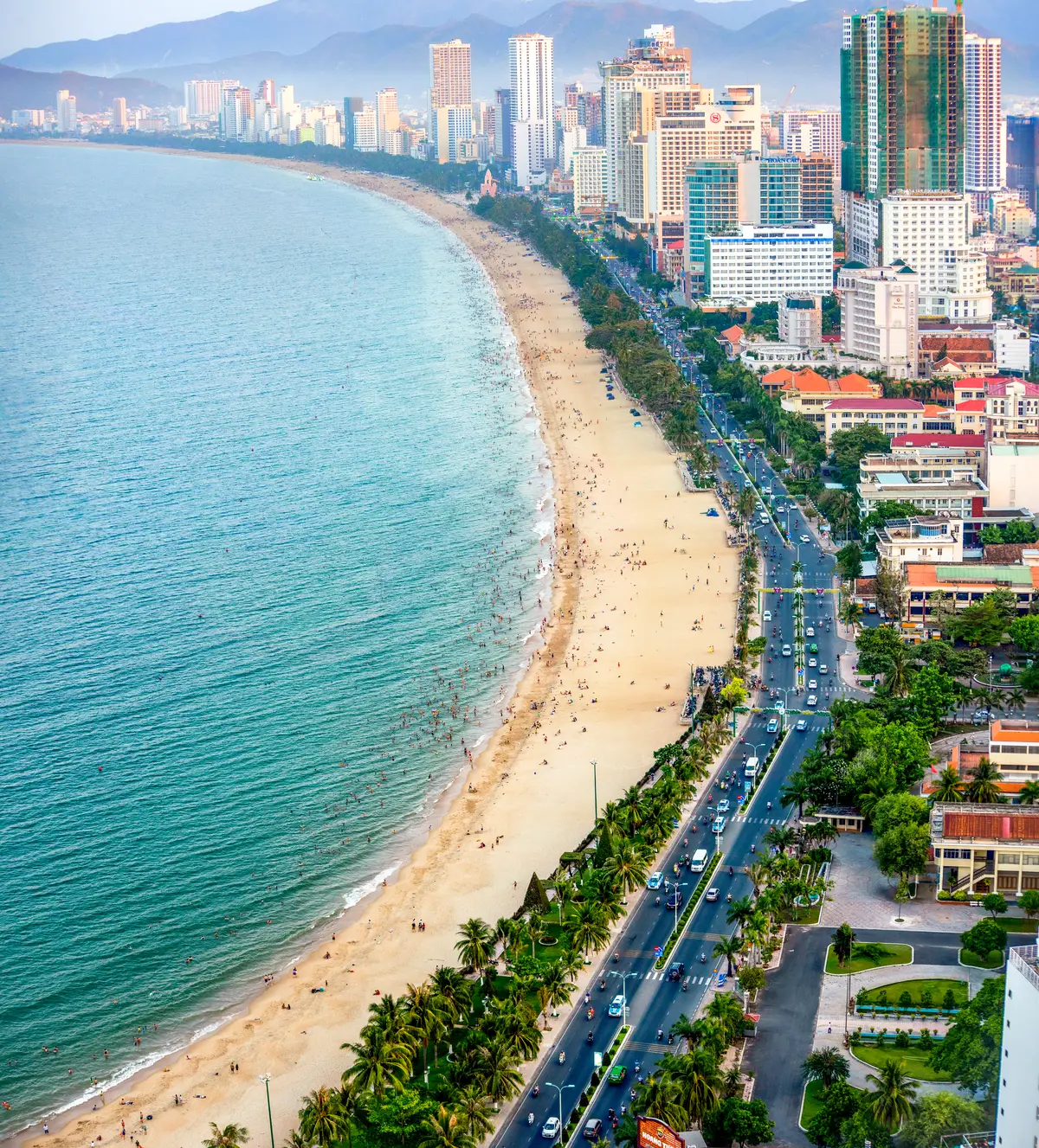
Decision 18/2021/QĐ-TTg sets the risk level for each type of disaster and announces it together with the forecast and warning bulletin. Levels run from 1 to 5, each with a map colour.
| Level | Colour | Risk |
|---|---|---|
| 1 | Light blue | Low |
| 2 | Light yellow | Medium |
| 3 | Orange | Large |
| 4 | Red | Very large |
| 5 | Purple | Catastrophic |
Examples for storms, as the decision lists them for areas including the South Central Coast:
- A forecast tropical depression or storm of force 8-9 is level 3.
- A forecast very strong storm of force 12-13 over the coastal sea or on land is level 4.
- A forecast very strong storm of force 14-15 on land is level 5.
The coast also has a storm-surge scale. A forecast surge plus tide giving a total water level of over 2 m to 3 m from Phu Yen to Ca Mau is level 2. A total level of over 3 m on the coast from Phu Yen to Ninh Thuan is level 3.
Levels can stack. When two or more disasters occur at once or in succession, the level may be raised by 1 level. Where serious loss of life and property is possible, it may rise by 2 levels, up to level 5. A storm that brings heavy rain and a flood is the typical case.
Bulletins, timing and the Khanh Hoa rivers
Bulletin names tell you how close a storm is. A “storm near the East Sea” bulletin is issued when a storm outside the East Sea is likely to move in within 48 hours. An urgent storm bulletin is issued when a storm is likely to directly affect the mainland within 48 hours.
During an urgent bulletin the schedule tightens. Eight main bulletins are issued a day, at 2:00, 5:00, 8:00, 11:00, 14:00, 17:00, 20:00 and 23:00. Quick storm bulletins are updated hourly on the forecasting service’s web portal.
Rain and flood warnings follow their own clock. A heavy-rain warning is issued when heavy rain may occur within 48 hours, and a forecast when it may occur within 24 hours. Follow-up warnings come at 9:00 and 15:30, and forecasts at 3:30, 9:00, 15:30 and 21:00.
A flood warning is issued when a river is likely to reach alarm level 1, or has reached it and keeps rising. For Khanh Hoa, the decision’s list of rivers with national flood forecasts names the Cai Nha Trang and Dinh Ninh Hoa. Its flood and flash-flood risk tables group Khanh Hoa in area 4, alongside Binh Dinh, Phu Yen, Ninh Thuan and Binh Thuan.
From first warning to landfall
The decision builds a ladder of bulletins. Here is the sequence in order of closeness:
- A storm outside the East Sea may trigger a “near the East Sea” bulletin when it could move in within 48 hours.
- Once a storm is in the East Sea, the forecast covers 24, 48 and 72 hours, with a warning on direction, speed and intensity for 72 to 120 hours ahead.
- When a storm is likely to directly affect the mainland within 48 hours, the urgent bulletin starts.
- From then, eight main bulletins a day and hourly quick bulletins carry the updates.
What a storm bulletin contains
A bulletin gives the storm’s centre position by latitude and longitude to 1/10 of a degree. It states intensity in Beaufort force for the strongest wind and for gusts. It gives the speed of movement in km per hour.
The bulletin also carries a forecast track map, with the strong-wind radius and a 70% probability circle for where the centre may go. The track and its probability circle are part of the bulletin, not only the force number.
Which bulletins count as official
The decision says bulletins from the named forecasting agencies are the official ones, used to direct prevention, response and recovery. Voice of Vietnam, Vietnam Television and the Vietnam Coastal Information System are responsible for relaying them. So do provincial radio and television and the press.
The flood season and last year’s floods
Floods in Khanh Hoa do not need a storm. In November 2025 the province’s quick report counted 14 deaths, 15,396 houses flooded 1 to 3 m deep and over 13,300 ha of rice, crops and fruit trees damaged.
On the morning of 20/11 the water level reached its highest on record, and hydropower reservoirs released water together. Authorities evacuated 3,200 households, about 13,000 people.
Visitors were affected. Three Russian nationals were rescued from floodwaters in Nha Trang on 18/11/2025. Tay Nha Trang Ward reported water up to two meters in places. On the morning of 21/11 the beach was covered in rubbish after the floods.
That month matches the numbers. November is the wettest month on average, at 381.6 mm. It also has the most rainy days, at 18.0. The flood season on rivers from Quang Binh to Ninh Thuan runs to 15 December.
What Khanh Hoa ordered for Storm Kalmaegi
Storm Kalmaegi in early November 2025 is the clearest recent example of the tourism side. The forecast issued on 4/11 said it could directly affect the mainland from Da Nang to Khanh Hoa. The window opened on the evening or night of 6/11, with force 10-12 near the centre. The Prime Minister’s order told localities to decide whether to restrict boats going to sea or ban the sea.
Khanh Hoa’s culture, sports and tourism department issued an urgent notice requiring all tourism businesses in the province to apply response measures. The notice required units to be on duty 24 hours a day before, during and after the storm. Coastal and island lodging businesses had to review and count the guests staying with them.
Tour boats stopped. From 10h on 5/11, tourist boats were banned from leaving port for Vinh Hy bay.
Flights and airports
Cam Ranh Airport serves Nha Trang, and weather has closed it before. On 10/11/2019 the Civil Aviation Authority suspended Cam Ranh from 18:00 on 10/11 to 6:00 on 11/11. Vietnam Airlines brought forward 6 Hanoi and Ho Chi Minh City to Nha Trang flights by 1 hour 40 minutes to over 3 hours so they would land before 18:00.
That is the pattern to expect. Airlines move flights earlier or later around a closure, and flight changes arrive through the airline, not the airport. Airline compensation rules for weather cancellations are not confirmed here.
Before and during a storm
- Know the colours: orange is level 3 and red is level 4.
- Skip sea activities when storms or the northeast monsoon are forecast: the bulletin says they cause strong winds and big waves.
- Watch the hourly quick bulletins when a storm is near, because they are updated every hour.
- Treat a heavy-rain warning as a 48-hour notice, and a forecast as a 24-hour one.
- Ask your accommodation how it reports guests to the province. Coastal and island lodging businesses had to count guests staying with them in November 2025.
- Expect tour boats to stop early. In November 2025 the ban at Vinh Hy bay started on the morning of 5/11, a day before the forecast landfall window.
- Plan flights with slack from October to December, the months with the most rain and the highest landfall frequency.
- Confirm flight times with the airline. In the 2019 Cam Ranh suspension, airlines moved flights earlier or later.
When the beach is closed
Places that do not depend on the sea have their own guides: the Oceanography Museum, the mud baths compared and Dam Market. Check each page for current hours and tickets before you go.
For emergency numbers, see Nha Trang emergency numbers. Rainfall by month is in best time to visit Nha Trang.
Photos and clips uploaded to Google Maps (Nha Trang Beach on Google Maps (opens in a new tab)) by @Tony Nguyen, @ARTHUR GEO, @Khoa Trần, @Hải Ngô, @Hung Tran, @Алексей Макаров.
Not confirmed: Where Khanh Hoa's own flood and storm orders are posted is not confirmed; check NCHMF and your accommodation. Whether risk-level rows for the South Central Coast cover Nha Trang is not confirmed. A newer NCHMF bulletin can replace the outlook issued on 15/9/2026. No official storm alert hotline or app for visitors is confirmed.
Common questions
When do storms reach the Nha Trang coast?
The national standard's landfall table for the Binh Dinh to Ninh Thuan coast peaks at 0.39 in October and 0.40 in November.
Will there be fewer storms in late 2026?
The bulletin issued on 15/9/2026 says storms and tropical depressions active in the East Sea and affecting Vietnam from October to December 2026 are likely to be below average.
Are storms likely in early 2027?
As of the 15/9/2026 bulletin, storms or tropical depressions in the East Sea are unlikely from January to March 2027.
Will it rain less than usual in October 2026?
The bulletin forecasts October 2026 rainfall 20-40% below average in the South Central Coast, among other areas.
What does a storm count as in Vietnam's rules?
A tropical cyclone with maximum wind of force 8 or more; force 12 to 15 is a very strong storm.
What do the risk-level colours mean?
Level 1 is light blue (low), level 2 light yellow (medium), level 3 orange (large), level 4 red (very large) and level 5 purple (catastrophic).
When does a storm count as risk level 3?
Decision 18/2021/QĐ-TTg lists a forecast tropical depression or storm of force 8-9 as risk level 3.
When is the flood season?
On rivers from Quang Binh to Ninh Thuan it runs from 1 September to 15 December.
Do tourist boats stop running in a storm?
Before Storm Kalmaegi in November 2025, tourist boats were banned from leaving port for Vinh Hy bay from 10h on 5/11.
Does the northeast monsoon matter for the sea?
The bulletin says storms, tropical depressions and the northeast monsoon cause strong winds and big waves affecting activities in the East Sea.
Read next
General information checked against the sources listed above, not legal advice for your situation. Rules and office practice change; confirm with the immigration office or a licensed adviser before you act. See how guides are checked.
Spotted an error? Report it.