Nha Trang Flooding: Which Streets Flood in Heavy Rain
Press reports since September 2025 name Pham Van Dong, 23/10, Dien Bien Phu and 2 Thang 4 among flooded Nha Trang streets. In July 2026 the provincial construction director said about 10 black spots remain, mostly in 3 basins. The west also floods from the Cai river.
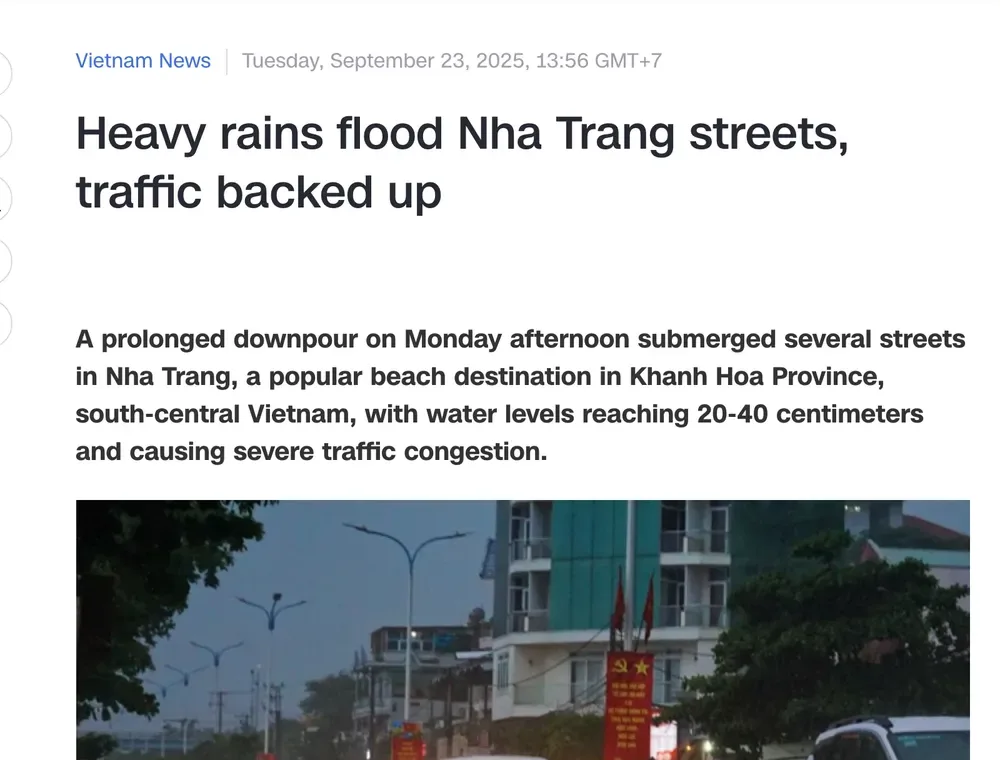
On Monday 22 September 2025 the rain began at around 4 pm and grew heavier through the evening, at rush hour. Several Nha Trang streets were under 20 to 40 cm of water. Residents said Pham Van Dong Street is often waterlogged after intense rain, and drivers ride onto the sidewalks to get through.
This page lists the streets that press reports and provincial statements have named since then, by area, with the date and depth where a report gives them. They are examples, not a full list.
Seafront and north: Pham Van Dong, Dien Bien Phu, Ngo Den and Cao Van Be.
Centre: Tran Phu near Hon Chong, 2 Thang 4, Hung Vuong and Nguyen Thien Thuat.
West, along the Cai river: 23 Thang 10, Nguyen Luong Bang and Vo Nguyen Giap Boulevard.
Two kinds of flooding: rain on city streets, and the Cai river in the west, with the black spots the province lists.
The national forecasting centre said 50 to 70 mm of rain fell in the province on the afternoon of 22 September 2025. Streets were under 20 to 40 cm of water.
On 16 October 2025, 20 to 40 mm fell between 4 am and 7 am, and some areas received more than 60 mm. In Bac Nha Trang Ward the main roads were flooded in places over 50 cm after more than 3 hours of rain.
For the night into 4 December 2025 the Khanh Hoa station forecast 30 to 80 mm, with more than 120 mm in places. It also saw a risk of more than 60 mm within three hours.
Nha Trang’s wettest months are October and November. Mean rainfall is 312.3 mm in October and 381.6 mm in November, against 16.1 mm in February. The largest daily falls on record in the standard’s table are 364.0 mm in October and 334.1 mm in November.
Those two months also have the most rainy days, 17.6 in October and 18.0 in November. The flood season on rivers from Quang Binh to Ninh Thuan runs from 1 September to 15 December.
For comparison, the national decision on disasters defines heavy rain as over 50 mm in 24 hours. Over 50 to 100 mm in 24 hours is “heavy” and over 100 mm is “very heavy”.
Pham Van Dong, 23/10, Chu Dong Tu, Dong Da, Ngo Thoi Nhiem - Dong Da
20-40 cm
16 Oct 2025
Pham Van Dong, Phan Boi Chau, Hon Chong, 23 Thang 10, Cao Van Be, Ngo Den, Dien Bien Phu, Le Dai Hanh
Over 50 cm in places in Bac Nha Trang
Nov 2025
23 Thang 10, Vo Nguyen Giap Boulevard, Tay and Nam Nha Trang
Above 2 metres in places
4 Dec 2025
Nguyen Luong Bang, riverside areas of Tay Nha Trang
About 200 m of road flooded
30-31 May 2026
Tran Phu near Hon Chong, 2 Thang 4, Dien Bien Phu, Nguyen Thien Thuat, Hung Vuong
20-40 cm
The worst event was in November. From 16 to 22 November 2025 floods killed 22 people, injured 20, destroyed 115 houses and severely damaged 922 more. Authorities estimated losses at more than VND 5.716 trillion, not counting private household property.
On the morning of 21 November 2025 Nha Trang beach was covered in rubbish after the floods. Ahead of Storm Kalmaegi, tourist boats were banned from leaving port for Vinh Hy bay from 10:00 on 5 November.
The province’s quick report of 22 November counted 14 deaths, 15,396 houses flooded 1 to 3 m deep and over 13,300 ha of rice, crops and fruit trees damaged. A later provincial report counted 22 deaths for 16 to 22 November.
Seafront and the north: Pham Van Dong and Dien Bien Phu
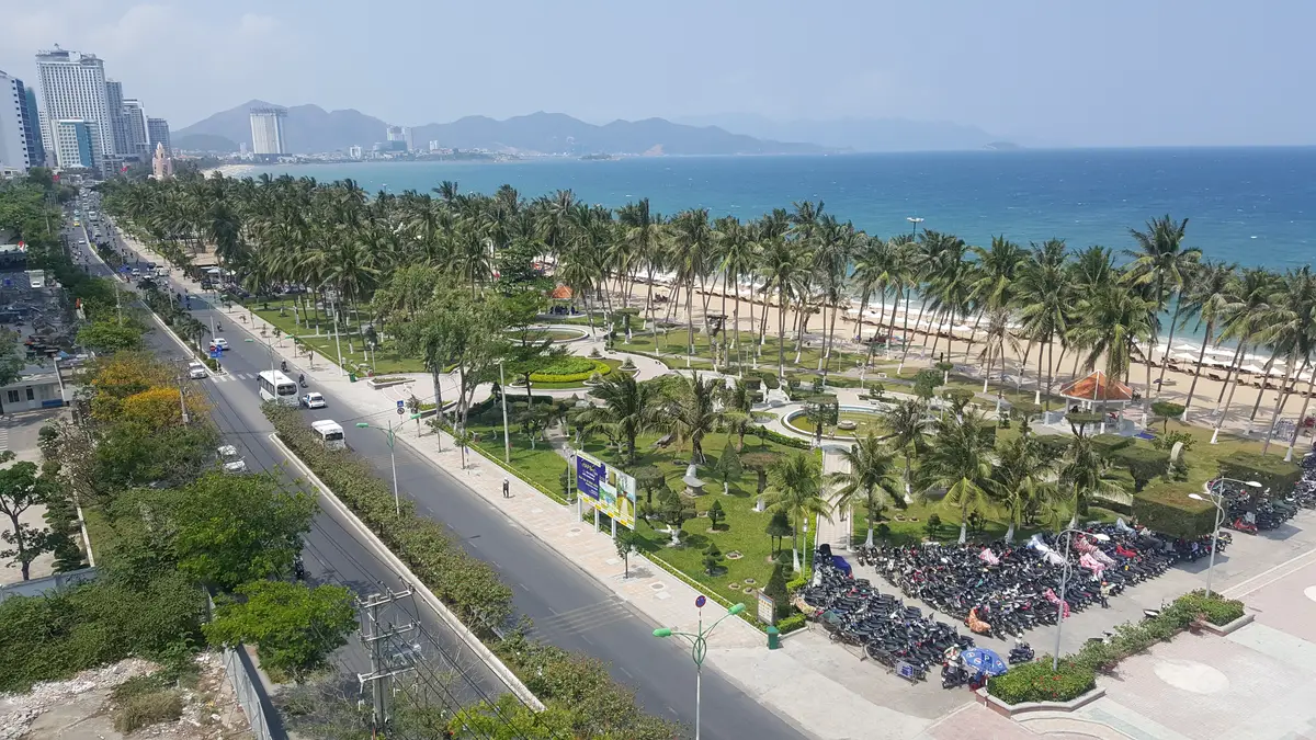
The seafront road and park in Nha Trang with parked motorbikes along the road.
Pham Van Dong is named in more reports than any other street here. It was flooded on 22 September 2025 and on 16 October 2025. On the second date the water rose to mid-wheel height in Bac Nha Trang Ward, and heavy water pressure dislodged a manhole cover.
Riders used the sidewalks at the Pham Van Dong and Cao Van Be intersection. By 10:00 on 16 October the rain had eased and the water was draining on the coastal road.
Dien Bien Phu Street is the second repeat name. Many motorbikes stalled there on 16 October 2025 and had to be pushed. It was flooded again on 30 to 31 May 2026.
At the Thoai Ngoc Hau and Dien Bien Phu crossroads one household put up a barrier to keep water out of the house. On 2 Thang 4 and Dien Bien Phu, local authorities posted people at the flooded sections to warn residents and stop vehicles passing.
Ngo Den Street near Nguyen Khuyen secondary school was flooded over 50 cm deep on 16 October 2025, and many pupils had to wade to school. The Xom Bong Bridge area was also heavily flooded that morning.
Local people said these areas often flood when heavy rain is unusual, because the water cannot drain in time. The forecasting centre also warned of flash-flood risk on small rivers and streams in Bac Nha Trang and Nam Nha Trang wards for the next 6 hours.
The centre: Tran Phu near Hon Chong, 2 Thang 4, Hung Vuong
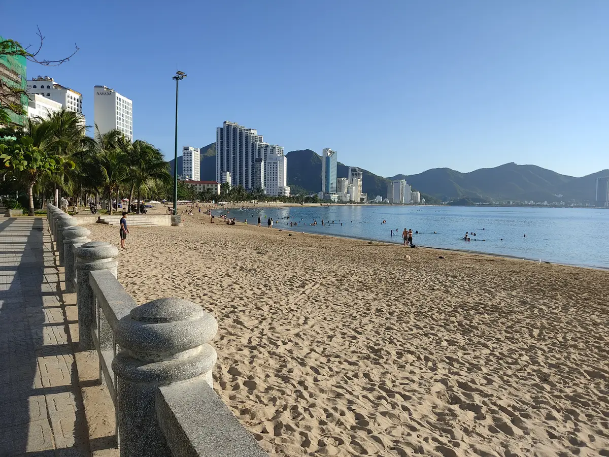
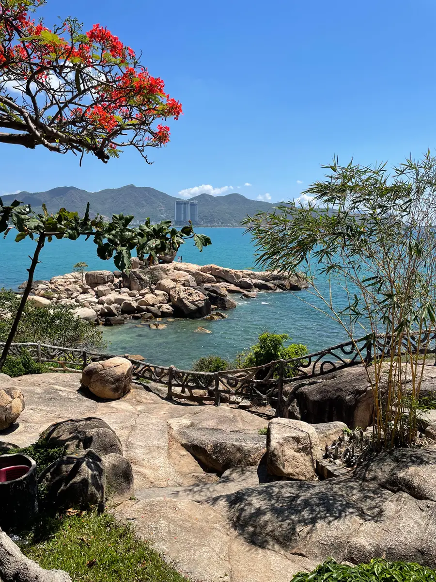
The seafront promenade near Hon Chong, along the road that floods in heavy rain.
Heavy rain from 30 May into the morning of 31 May 2026 flooded several streets in Nha Trang Ward and disrupted traffic. Water 20 to 40 cm deep covered sections of Tran Phu Street near Hon Chong, and 2 Thang 4, Dien Bien Phu, Nguyen Thien Thuat and Hung Vuong streets. One car broke down trying to pass a deeply flooded section of 2 Thang 4.
On 22 September 2025 floodwater reached half the height of motorbike wheels at the Ngo Thoi Nhiem and Dong Da intersection. Flooding along Chu Dong Tu Street and Dong Da Street was photographed that day.
A covered walkway inside Dam Market, where flooding reached the road to the market gate.
Streets near Dam Market flooded in both autumn events. On 22 September 2025 students waded through floodwater near the market after school. On 16 October 2025 floodwater rose on a road leading to Dam Market, and Phan Boi Chau Street was inundated.
On 22 September 2025 authorities unclogged drains to ease the flooding.
The west along the Cai river: 23 Thang 10 and Nguyen Luong Bang
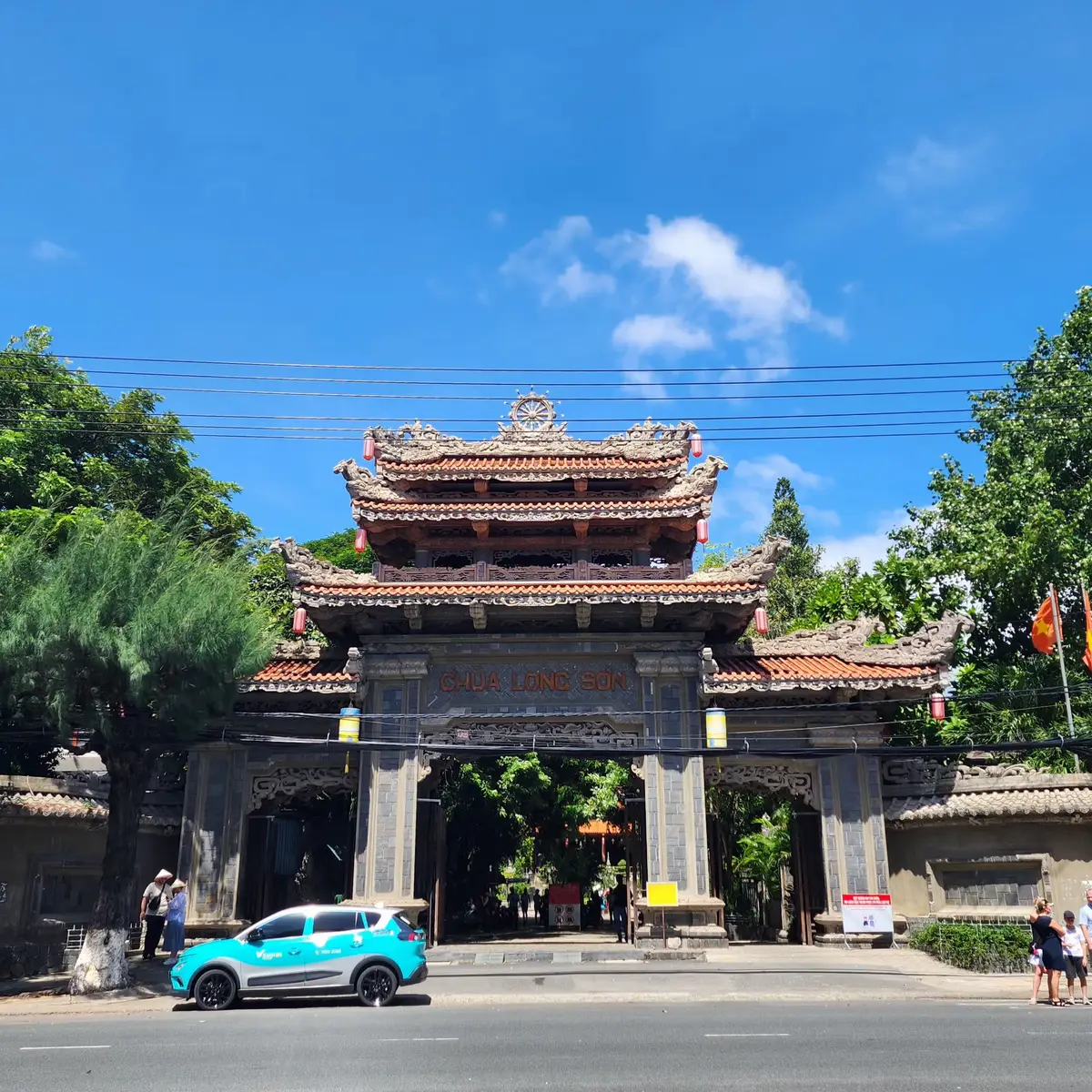
The gate of Long Son Pagoda on 23 Thang 10 Street, one of the streets that floods first.
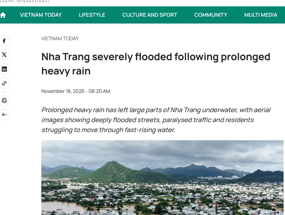
The west floods differently. In November 2025 flooding worsened as the Cai Nha Trang River swelled, submerging low-lying areas in Tay Nha Trang and Nam Nha Trang wards.
Deep water covered 23 Thang 10 Street in Tay Nha Trang Ward, and many motorbikes and several cars were left stranded or swept into the water. Many residents used makeshift boats or waded through the flood on that street.
Long Son Pagoda is on 23 Thang 10 Street. In places the water rose above 2 metres with strong currents, and Tay Nha Trang authorities deployed dozens of rescue vehicles and nearly 200 responders. Many homes in Tay Nha Trang were completely isolated by floodwater.
Flooding also affected Vo Nguyen Giap Boulevard in Nam Nha Trang, where vehicles struggled to pass. Three Russian nationals were rescued after being stranded by rising floodwater on 18 November 2025.
Dai bieu Nhan dan wrote that on the morning of 20 November the water reached its highest level in history, and that hydropower reservoirs released water together.
The national forecasting centre’s bulletin that day is more precise. The Cai river peaked at Dong Trang station at 13.14 m at 5 am. That was 2.14 m above alarm level 3 and 0.20 m below the 2003 record. Authorities evacuated 3,200 households, about 13,000 people, from flooded areas.
The river rose again from the early hours of 4 December 2025, and riverside areas of Tay Nha Trang flooded again. About 200 m of Nguyen Luong Bang Street was deeply flooded by water flowing in from the Cai river, and the authorities blocked some alleys because the water ran strongly.
The ward civil defence board of Tay Nha Trang warned riverside residents to raise their belongings and be ready to move when ordered. The ward committee office is at 480 Luong Dinh Cua Street.
At a provincial council session reported on 9 July 2026, a review found about 10 flood black spots in the Nha Trang area, mostly in 3 large basins. They are the SOS Village area, Pham Van Dong - Dien Bien Phu streets and the Chu Dong Tu area.
That list matches the streets above. Pham Van Dong, Dien Bien Phu and Chu Dong Tu all appear in the autumn 2025 reports.
Why these streets flood
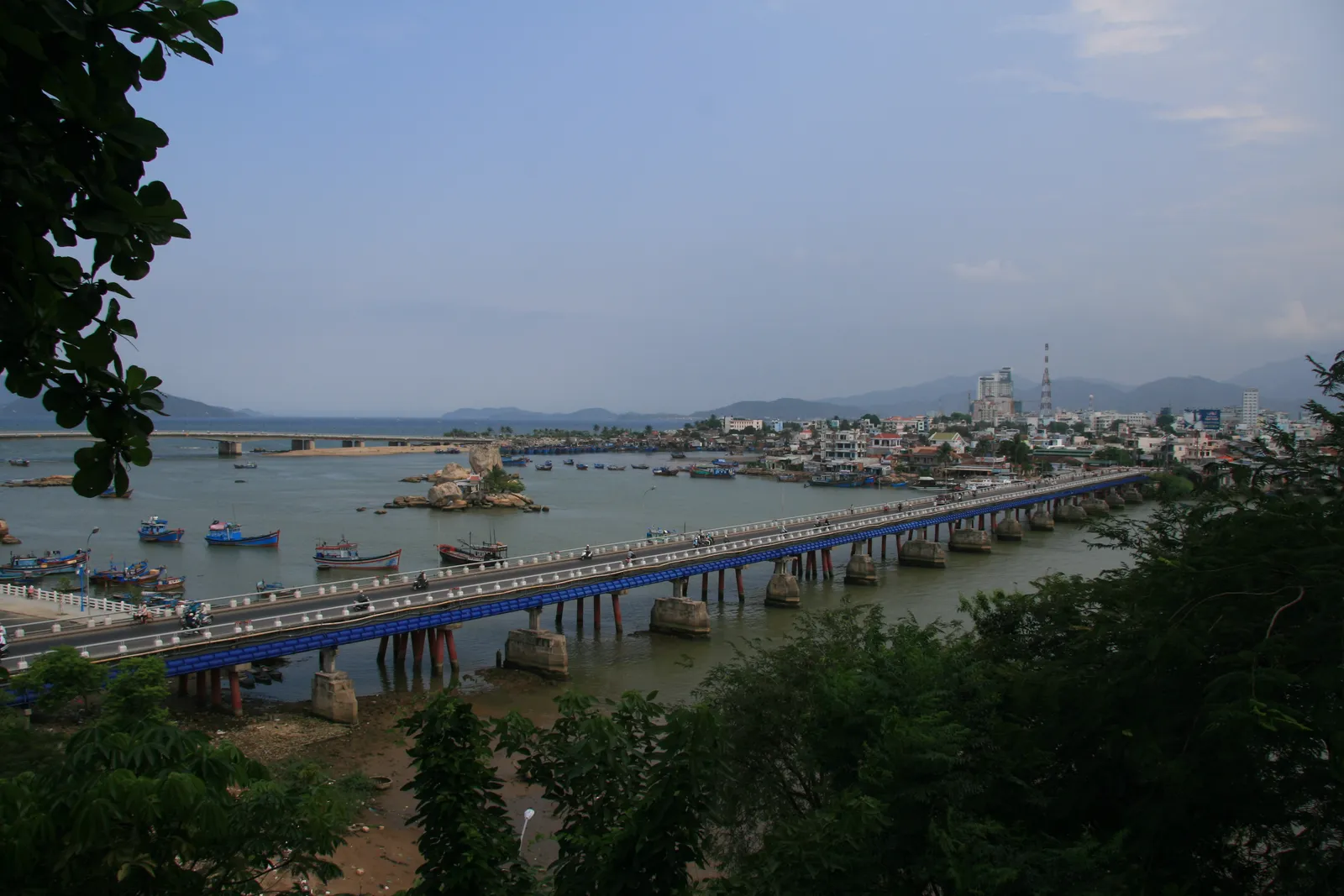
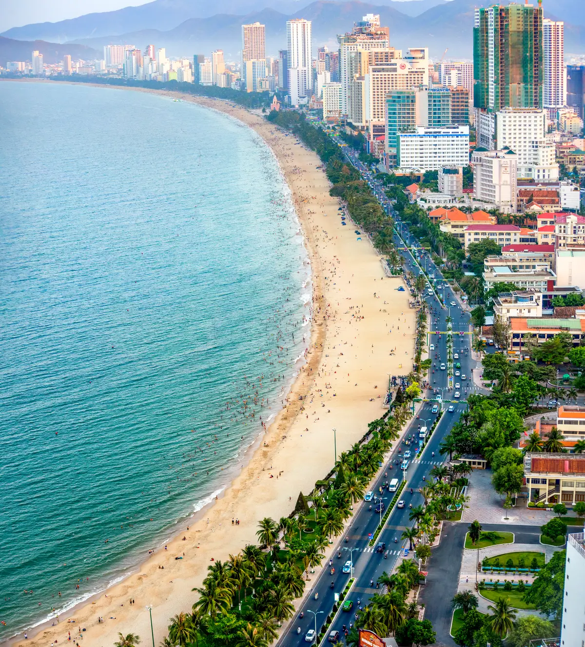
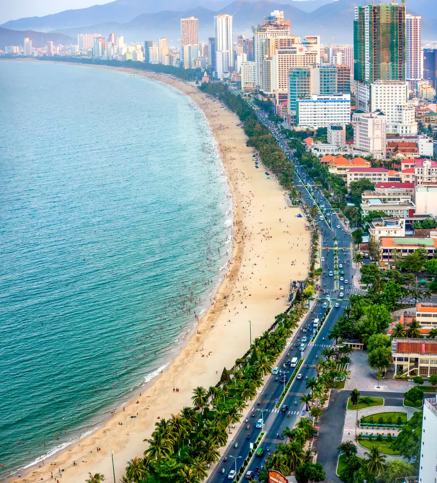
The coastal road along Nha Trang Beach, seen from the air.
The director of the Khanh Hoa Department of Construction said the drainage system is not uniform and is run down. It is not fully connected, so it is easily overloaded in heavy rain. He gave three causes:
important drainage projects in the plan not yet funded
other projects held up by legal and land-clearance problems
loose urban management, leading to illegal building and encroachment on drainage corridors
For the west, the provincial committee describes a low-lying downstream zone of the Cai River that is highly vulnerable to heavy rain, flash floods and tidal surges. The area has suffered repeated flooding between 2020 and 2025.
Older reports show the same pattern. In November 2010 the city reported flooding at the Duong De resettlement area, the Dien Bien Phu area, SOS village, Le Thanh Ton Street and Nguyen Trai Street, among others. Hung Vuong, Tran Quang Khai and Nguyen Thien Thuat were flooded up to 0.6 m deep, in places 1 m.
Officials gave two causes in 2010. The city said old-style drain covers smelled and residents often blocked them, while the newer type had small inlets whose screens were often clogged with rubbish. The province head said wrongly set road levels also played a part: old road surface was not removed when roads were repaired.
In November 2018, during Typhoon Toraji, main streets leading to Cam Ranh international airport were flooded and traffic was congested for many hours.
The province’s short-term plan is to review and upgrade run-down drainage lines and dredge on a regular cycle. It also plans new-generation trash screens and forced pumping stations where there is no long-term investment yet. It also said it would finish a flood inundation map in 2026.
Works named in reports:
Cai River saltwater barrier. Construction began on 25 September 2020. Total investment is VND 760 billion. Contractors aimed to finish in March 2026, and the project was about 97% done in the report of 15 January 2026. Its manager said it matters for blocking salt water and for flood drainage, among other functions.
Tay Nha Trang retention lake. Total investment was raised to more than VND 584.7 billion, all from the provincial budget. The design has a central lake, a canal along the railway that collects water, and a drainage canal from the lake out to the Cai River.
Tac - Quan Truong River project. It cost more than VND 593 billion and ran from 2008 to 30/6/2019. In May 2026 the province agreed to clear a row of trees that is not in the design from its embankment, to keep flood drainage working.
In December 2025 Khanh Hoa asked the central government for more than VND 5.285 trillion to build a flood drainage system for western Nha Trang urgently. It would cover seven major rivers and canals, about 23 km in all. The largest parts are the upper Quan Truong River at VND 1.421 trillion and the Tac River at VND 699 billion.
The province had already invested nearly VND 687 billion in two flood control projects for the west. One of them, a drainage project of more than VND 115.9 billion finished in 2019, had still not been officially accepted nearly six years later because of unresolved technical deficiencies.
The long-term list includes the western Nha Trang flood drainage system at about VND 7,000 billion and the D25 project and central flood drainage channel at nearly VND 2,000 billion.
The bulletins issued by the named national forecasting agencies are the official ones used to direct prevention, response and recovery. Broadcasters and the press are responsible for relaying them.
Heavy rain. A warning is issued when heavy rain may occur within 48 hours, and a forecast when it may occur within 24 hours.
Rivers. A flood warning is issued when a river is likely to reach alarm level 1, or has reached it and keeps rising. The Cai Nha Trang river is on the list of rivers with national flood forecasts.
Risk levels. Disaster risk runs from level 1 (light blue) to level 5 (purple), and the level is announced with the forecast and warning bulletin.
The flood season on rivers from Quang Binh to Ninh Thuan runs from 1 September to 15 December. A flood that appears outside that season is called abnormal.
The forecasting centre warned in May 2026 of increased flooding risk in low-lying areas, urban districts and roads with overloaded drainage. It advised residents to avoid flooded areas and stay alert to lightning, hail and strong winds.
Wait it out on a short event. On 16 October 2025 the water had partly receded by 8:00, about three hours after it began to rise.
Avoid flooded areas. That is the advice given to residents on 31 May 2026.
Do not try deep sections. Cars broke down on 2 Thang 4 in May 2026 and on Vo Nguyen Giap Boulevard in November 2025.
Raise belongings if you live by the river. The Tay Nha Trang civil defence board gave that warning on 4 December 2025.
Expect closures. Schools in Dien Khanh closed on 4 December 2025, and Cam Ranh airport was suspended from 18:00 on 10 November 2019.
Call for help. 112 receives reports of natural disasters. Calls to 112 are free. The 24/24 tourist hotline is *2258.
When you choose where to stay, note that the committee calls the western wards a low-lying downstream zone. Ask the landlord how the street behaved in the autumn floods before you pay a deposit. See where to live in Nha Trang and renting an apartment.
Not confirmed: Whether the black spots listed in July 2026 have been fixed. Ask your landlord or hotel how the nearest street floods before you pay. Whether the western Nha Trang drainage request has been approved. Check local news before you plan around it.
Common questions
Which Nha Trang streets flood in heavy rain?
Reports since September 2025 name Pham Van Dong, 23/10, Dien Bien Phu, 2 Thang 4, Nguyen Thien Thuat and Hung Vuong, Ngo Den and Cao Van Be. These are examples from reports, not a full list.
Does Pham Van Dong Street flood?
It was flooded in the 22/9/2025 and 16/10/2025 reports. Residents said it is often waterlogged after intense rain, and on 16/10/2025 the water rose to mid-wheel height on it in Bac Nha Trang Ward.
How deep does the water get on the main streets?
Reports give 20 to 40 cm on 22/9/2025 and on 30 to 31 May 2026, and over 50 cm in places in Bac Nha Trang Ward on 16/10. Along the Cai river it exceeded 2 metres in November 2025.
Which parts of Nha Trang flood worst?
The provincial committee calls western Nha Trang a low-lying downstream zone of the Cai River. It includes Tay Nha Trang and Nam Nha Trang wards, and is highly vulnerable to heavy rain, flash floods and tidal surges.
What are the flood black spots in Nha Trang?
In July 2026 the construction director said about 10 black spots remain, mostly in 3 basins. They are the SOS Village area, Pham Van Dong - Dien Bien Phu and the Chu Dong Tu area.
How much rain floods the streets?
On 22/9/2025, 50 to 70 mm of rain fell in the afternoon, and streets were under 20 to 40 cm of water. On 16/10/2025, 20 to 40 mm fell between 4 am and 7 am, and some areas had more than 60 mm.
When is flood season in Nha Trang?
On rivers from Quang Binh to Ninh Thuan the flood season runs from 1 September to 15 December.
How long does the water stay?
On 16/10/2025 a Bac Nha Trang resident said the water rose from just after 5:00 and had partly receded by 8:00. The rain eased by 10:00 and the water was draining on Pham Van Dong.
Is the city fixing the flooding?
The province is building a saltwater barrier on the Cai River and a retention lake in Tay Nha Trang, and it asked the central government for funds for western drainage.
Where do I check for flood warnings?
The bulletins from the named national forecasting agencies are the official ones for prevention and response. A river flood warning is issued when the water is likely to reach alarm level 1.
General information checked against the sources listed above, not legal advice for your situation. Rules and office practice change; confirm with the immigration office or a licensed adviser before you act. See how guides are checked.